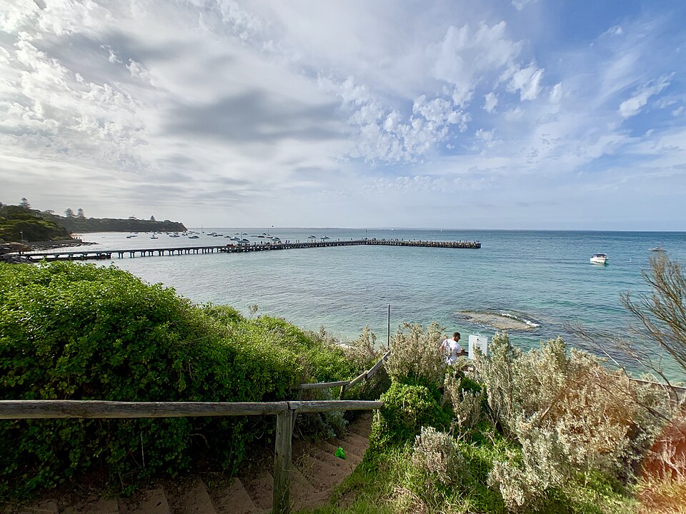
Port Phillip Bay
Portsea & Port Phillip Bay — Inshore Dive Review
Freediving and scuba review of Portsea and nearby Port Phillip Bay reefs — depth, visibility, boat traffic, marine life, and access from the Mornington Peninsula.
- Region
- Port Phillip Bay
- Access
- both
- Depth
- 4–15 m
- Skill
- intermediate
- Disciplines
- Freediving · Scuba · Snorkelling
- Rating
- 3.8
Spearfishing: Portsea Hole lies inside Port Phillip Heads Marine National Park, where fishing is prohibited and spear guns are not permitted (Parks Victoria, checked 4 Nov 2026) — verify every dive on VicFishing. Dense boat traffic demands Alpha flags and one-up-one-down buddies.
Location
Map data © OpenStreetMap contributors · Open full map
Marine life you may see
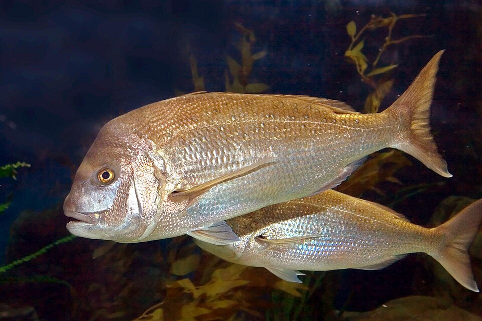
Pink snapper
Chrysophrys auratus
Photo: Melbourne Aquarium, GFDL 1.2, via Wikimedia Commons
Southern calamari
Sepioteuthis australis
Photo: Johnmartindavies, CC BY-SA 3.0, via Wikimedia Commons
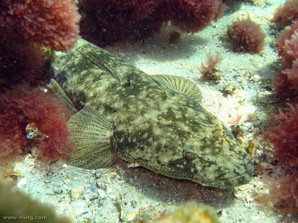
Dusky flathead
Platycephalus fuscus
Photo: Richard Ling, CC BY-SA 2.0, via Wikimedia Commons
Portsea sits where the Mornington Peninsula narrows towards the Bay's entrance. For divers, the area represents classic Port Phillip Bay diving: accessible, fish-rich in season, and operationally demanding because of boats, zoning, and variable visibility.
This review covers shore and small-boat diving in the Portsea / Sorrento / Blairgowrie corridor — not the open-ocean side of the Peninsula, which is a different proposition entirely.
What you'll find underwater
Inshore reefs step from sand to weed to rock between 4 and 15 m on many lines. Snapper cruise edges in warmer months; flathead lie on sand; squid hunt shallow reef at dawn and dusk. Trevally and reef species fill the mid-water column when bait is present.
Freediving: Intermediate skills recommended — traffic management, navigation, and confident equalising to 12–15 m open more structure. Shorter sessions in murky chop are common in summer.
Scuba: Boat dives to nearby reef patches are popular with local clubs. Night dives occur in summer where legal — check local rules and marine national park boundaries.
Boat traffic — non-negotiable safety
Port Phillip Bay is one of Australia's busiest recreational boating areas. From the surface you are nearly invisible. Every dive plan must include:
- High-visibility float with ICS Alpha flag when divers are in the water
- One-up-one-down buddy protocol
- Surface swim back to your flag, not random pop-ups away from your marker
Read our Port Phillip Bay beginners guide for zoning context even if you are not spearfishing — the same sanctuary maps apply to all take.
Zoning
Portsea Hole is inside the Port Phillip Heads Marine National Park (Parks Victoria, checked 4 Nov 2026), and marine national parks and sanctuaries cover much of the high-value reef nearby. No take means no take — for line fish, spears, and often collection of any marine life. Enter coordinates in VicFishing before every new dive line.
Conditions
| Factor | Notes |
|---|---|
| Visibility | 3–10 m typical in summer; 5–15 m possible in winter |
| Swell | Bay chop, not ocean swell — still enough to complicate shore entry |
| Current | Generally mild inshore; stronger near heads and channels |
| Season | Snapper season drives traffic; winter dives need 5 mm+ suits |
Rating rationale (3.8 / 5)
Fish and structure deserve a higher score; boat traffic, zoning complexity, and inconsistent visibility pull it down. Excellent for intermediate divers with local knowledge or club supervision — frustrating for unprepared beginners.