Mornington Peninsula
Bridgewater Bay & Fowlers Beach, Blairgowrie — Back Beach Dive Review
Freediving and scuba review of Blairgowrie's ocean back beaches — Bridgewater Bay entry, Graham's Reef, and Fowlers Beach. Exposed Bass Strait shore diving at 4–8 m.
- Region
- Mornington Peninsula
- Access
- shore
- Depth
- 4–8 m
- Skill
- intermediate
- Disciplines
- Freediving · Scuba · Snorkelling
- Rating
- 3.6
Spearfishing: Ocean back-beach diving — not the sheltered bay foreshore at Blairgowrie marina. Hold a current Victorian recreational fishing licence, stay outside pier and creek-mouth exclusion zones, and confirm your swim line on VicFishing. Land access is through Mornington Peninsula National Park; no dogs or fires.
Location
Map data © OpenStreetMap contributors · Open full map
Marine life you may see
Horseshoe leatherjacket
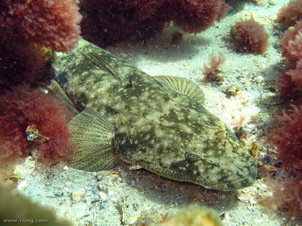
Meuschenia hippocrepis
Photo: Richard Ling, CC BY-SA 2.0, via Wikimedia Commons
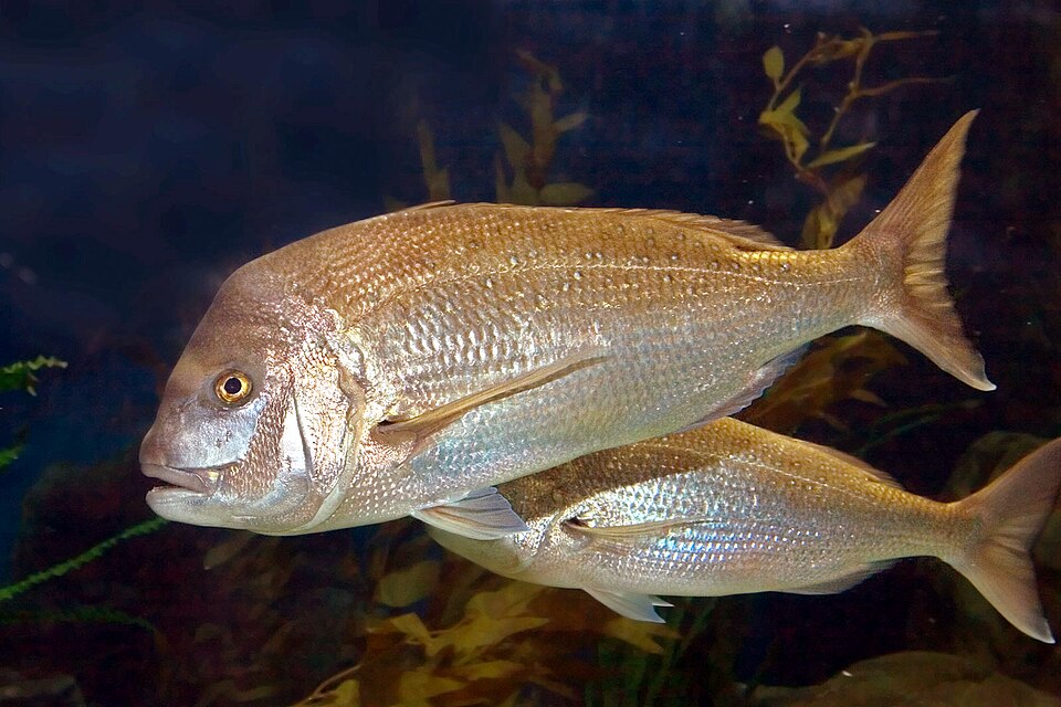
Fowlers Beach is not a separate easy shore entry — it sits west along the reef from Bridgewater Bay on Blairgowrie's ocean back beaches (Bass Strait side of the Mornington Peninsula). Locals dive here from Bridgewater Bay, not from the sheltered Blairgowrie marina or bay foreshore.
Do not confuse this with Rye bay-side reef diving a few kilometres east on the inside of Port Phillip Bay. Same postcode, completely different exposure and entry logistics.
The dive experience
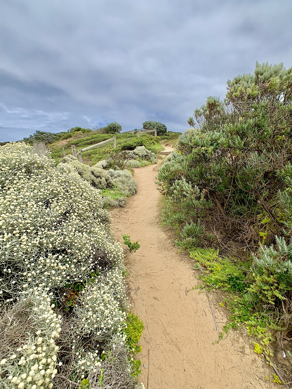
Entry: Park at the end of St Johns Wood Road (small car park — fills fast; no standing zones apply). Walk the track east to a steep staircase down the cliff to Bridgewater Bay beach. From the sand, fin out over rock shelf and reef to 4–8 m.
Heading west: Swim past Koreen Point (Graham's Reef) along the reef edge towards Fowlers Beach. The rock shelf is only passable at lower tides — at high tide the walk west along the coast can be cut off by water over the flats.
Heading east: "The Bridge" at the eastern end of Bridgewater Bay offers a sea cave and ledges in calmer conditions.
The bottom is calcarenite reef, rock ledges, and sand patches — open-coast temperate habitat, not the seagrass-and-sand bay floor of the Rye foreshore. Visibility can exceed bay sites after settled weather, but swell, surge, and wind chop are real.
Freediving: Suitable for divers comfortable with surge and rock entries. Most sessions stay at 4–8 m along the reef edge.
Scuba: Experienced shore divers use Bridgewater Bay for photography and reef exploration. Carry a surface marker — there is no pier exclusion zone here, but small craft use the back beaches in summer.
Snorkelling: Feasible in protected pockets at low tide on very calm days — not a patrolled beach; no lifeguards.
Conditions and timing
- Best: Low swell (<1 m), light offshore or northerly wind, entry at mid-to-low tide if you plan to explore west towards Fowlers
- Avoid: Southerly swell, high tide if you need rock-shelf access west, cliff-jumper crowds in the Bridgewater rock pools above the beach
- Water temp: Similar to other Peninsula ocean sites — high teens in late summer, single digits in winter
Current is generally along-shore rather than the strong tidal races of Port Phillip Heads, but surge over the reef shelf can push you into rocks. Plan your exit before you enter.
Access and logistics
No beach facilities. Rig at the car, check tide and swell forecasts, and agree buddy signals before the stairs. The national-park track and stairs are the only practical access — Fowlers Beach itself has no road or car-park entry.
Honest drawbacks
- Not beginner terrain: Steep stairs, rock-shelf entries, and open-coast exposure. Bay-side Rye or Mount Martha are better first shore dives.
- Tide-gated access: High tide can prevent the westward rock-shelf walk to Fowlers Beach entirely.
- No take zones elsewhere on the Peninsula: Port Phillip Heads Marine National Park is on the Peninsula, and spear guns are not permitted in any Victorian marine protected area (Parks Victoria, checked 4 Nov 2026). Confirm every swim line on VicFishing before spearfishing.
- Parking pressure: The St Johns Wood Road car park is tiny; overflow parking risks fines in no-standing zones.
Rating rationale (3.6 / 5)
Rewarding reef structure and better clarity than most bay sites when conditions align. Points off for tide-dependent access, stairs, surge, parking limits, and the common confusion with Blairgowrie's sheltered bay side. Pair with the Mornington Peninsula section of our spots guide for bay-vs-ocean context.